Compiled by Craig Dremann, Box 609, Redwood City, CA 94064 USA (650) 325-7333, for scientific study of continent-sized ecological and vegetation photo megatransects, photos copyright by the photographers that are listed on the pages at confluence.org.
Photos could be used to monitor climate changes, global warming, or as a baseline for ecological restoration efforts. Photos on this web page are used here with written permission from the Confluence Project.
The best index link into the Confluence project is https://www.confluence.org/showworld.php
>>>See the Europe to Africa Vegetation Megatransect HERE
>>>Australia Vegetation Megatransect HERE
>>>Canada to Mexico Vegetation Megatransect HERE
>>>Canada to Baja Vegetation Megatransect HERE
>>>China West to East Vegetation Megatransect HERE
>>>China South to North Vegetation Megatransect HERE
>>>Pakistan through India Vegetation Megatransect HERE
>>>North Africa to India Vegetation Megatransect HERE
>>>United States West to East Vegetation Megatransect HERE
>>>New Mexico whole state Vegetation Megatransect HERE
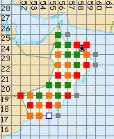
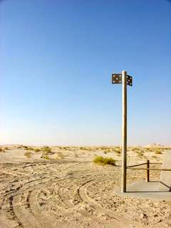
Dots trace route of this megatransect.
Red=ER 0, Orange=ER1, Green = ER2
ER = is a rating for each site, as to their Ecological Restoration potential, and the following numbers from 0 to 2 rate the site as follows:
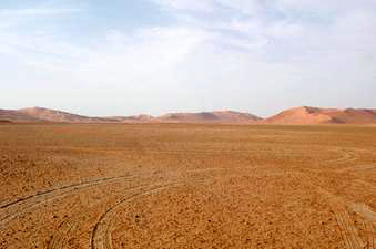
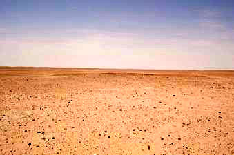
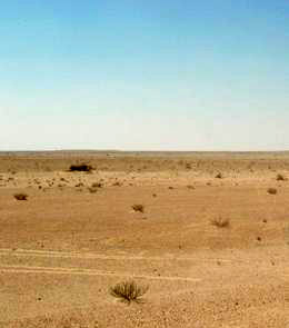
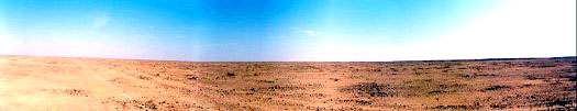
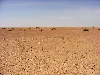
0 = No native vegetation is visible, and no soil with organic
matter seen.
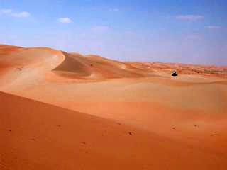
1= Zero plant cover, but organic matter still appears to be in
the soil. This indicates that vegetation was present in the area
in the last 50-200 years, so ecological restoration would be more
likely to succeed in these areas with nutrients and organic matter
still present.
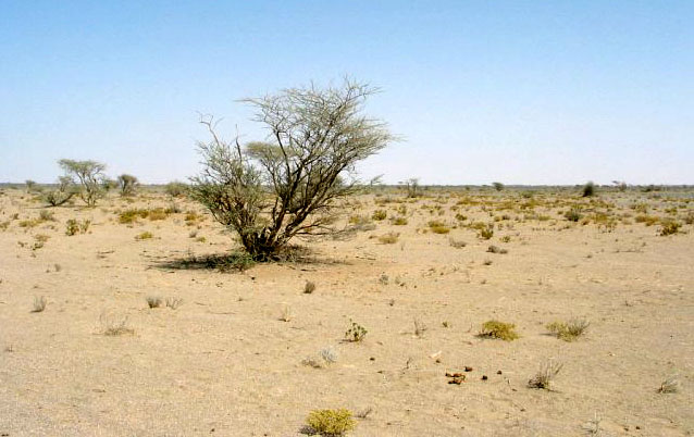
2 = Plant cover present, should be preserved as an ecological
restoration site.
Best sites are 17N 54E, 24N 56E and 24N
57E.
 17N 53E - ER 1
 17N 54E - ER 1. Second best area to start the process
of ecological restoration, after 24N 56E.
17N 54E - ER 1. Second best area to start the process
of ecological restoration, after 24N 56E.
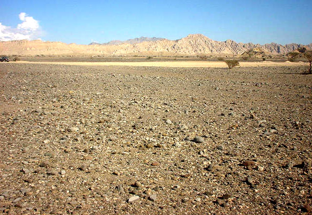
 18N 53E - ER 0
 18N 54E - ER 1 with camel tracks
 18N 55E - ER 0
 18N 56E - ER 1
 19N 52E - ER 0
 19N 53E - ER 1
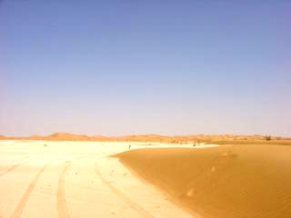
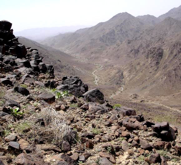
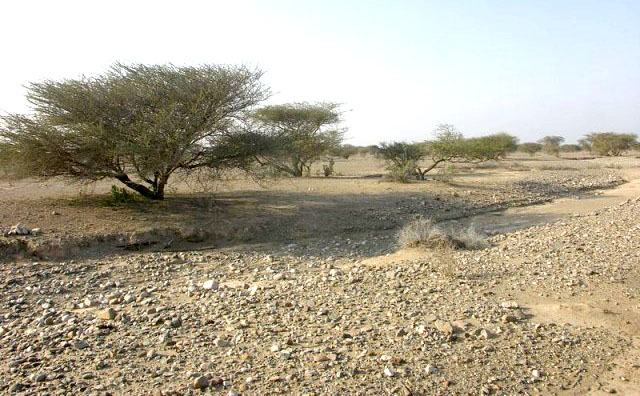
 19N 54E - ER 2
 19N 55E - ER 1
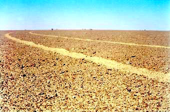
 19N 56E - ER 2
 19N 57E - ER 0
 20N 55E - ER 2
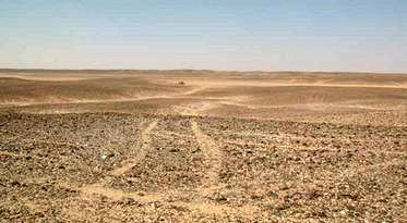
 20N 56E - ER 2
 20N 57E - ER 2
 21N 56E - ER 0 - Ancient lake bed, the southern edge
of a huge lake that extends into the Kingdom on Saudi Arabia,
that was originally at least 100 meters deep about 6,000 years
ago, and remnant open water is still present. See https://www.ecoseeds.com/cool.html.
21N 56E - ER 0 - Ancient lake bed, the southern edge
of a huge lake that extends into the Kingdom on Saudi Arabia,
that was originally at least 100 meters deep about 6,000 years
ago, and remnant open water is still present. See https://www.ecoseeds.com/cool.html.
 21N 57E - ER 1
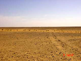
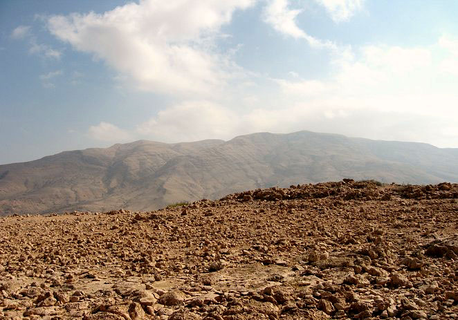
22N 56E - ER 1
 22N 57E - ER 1
 22N 58E - ER 2
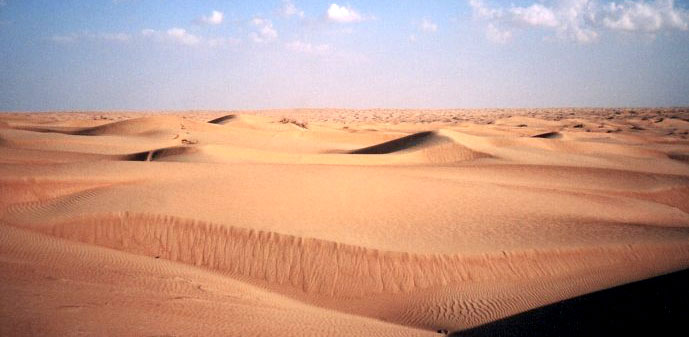 22N 59E - ER 0
 23N 55E - ER 0
23N 56E - ER 1
 23N 57E - ER 2
 23N 58E - ER 2
 23N 59E - ER 1
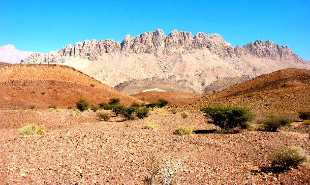
 24N 56E - ER 2 - third best potential area for ecological
restoration.
24N 56E - ER 2 - third best potential area for ecological
restoration.
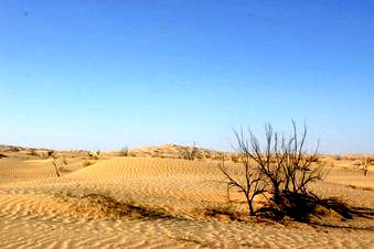
 24N 57E - ER 2+ Best example seen of natural vegetation,
needs protection as am ecological restoration preserve.
24N 57E - ER 2+ Best example seen of natural vegetation,
needs protection as am ecological restoration preserve.
Updated December 24, 2022 - The Reveg Edge Ecological Restoration service